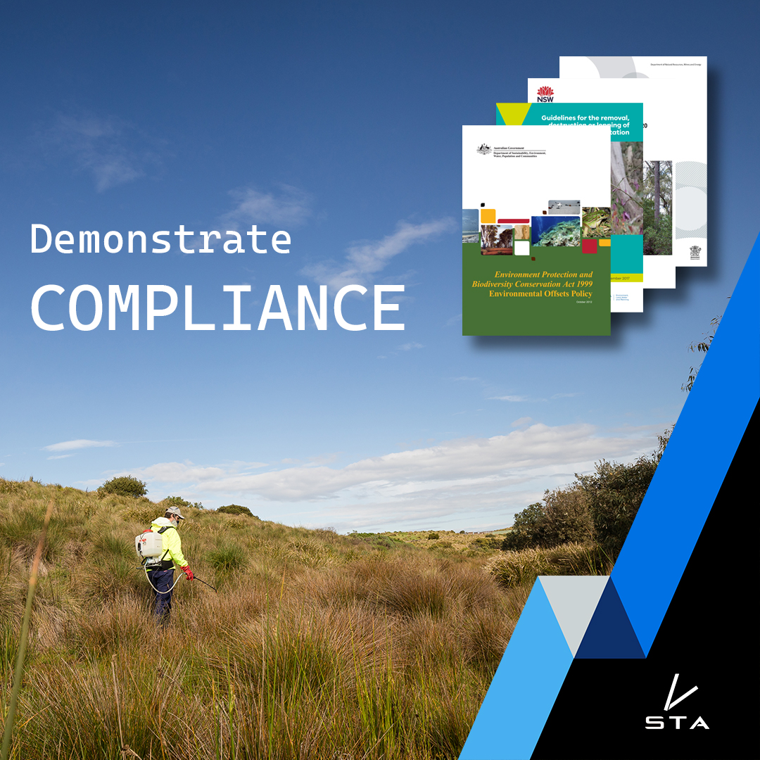
Demonstrating compliance – Prove your weed control was actually performed as required
Weed mapping devices like the STA logger have become an increasingly popular tool for managing and controlling invasive weeds in natural areas such as national parks and reserves. These devices can be used to create detailed maps of weed populations, which can help land managers to develop effective weed control strategies and track progress over time.
In many parts of the world, there are regulations about the removal of native vegetation or impacts on biodiversity. Many of these regulations require actions to be undertaken when impacts to the environment are unavoidable.
The use of weed mapping devices has become particularly important in demonstrating compliance with these regulations.
In Victoria Australia the state’s native vegetation guidelines require entities that remove native vegetation to provide a native vegetation offset, which can involve restoring or enhancing vegetation on another site or protecting and managing an existing area of native vegetation. One of the key management actions required in a native vegetation offset site is weed control, and entities responsible for managing these sites must be able to demonstrate that they have conducted weed control activities in compliance with the offset site management plan.
Using a weed mapping device like the STA logger can be a useful way to demonstrate that weed control activities have been conducted in a native vegetation offset site, and to provide evidence of compliance with the Victorian guidelines. Here’s how:
Creating a weed map of the offset site
The first step in using a weed mapping device to demonstrate compliance with the guidelines is to create a weed map of the offset site. This involves using the device to survey the site and create a detailed map of weed populations. The map can be used to identify areas where weed control activities are needed, and to track the effectiveness of weed control measures over time.
By creating a weed map of the offset site, entities responsible for managing the site can provide a visual representation of the areas where weed control activities have been conducted, and demonstrate that the site is being managed in accordance with the guidelines.
Recording weed control activities
Once the weed map has been created, entities responsible for managing the offset site must be able to demonstrate that they have conducted weed control activities in the areas identified by the map. This may involve using a variety of weed control measures, such as targeted herbicide applications or manual removal.
It’s important to keep accurate records of weed control activities, such as the type of control method used, the date of the activity, and the area treated. These records can be used to provide evidence of compliance with the guidelines and demonstrate that the offset site is meeting its conservation objectives.
Using the weed map to guide weed control activities
In addition to providing a record of weed control activities, the weed map can also be used to guide future weed control efforts. By identifying areas where weeds are most prevalent, the map can help to ensure that weed control activities are targeted and effective. This can help to reduce the time and resources required for weed control, and ensure that the offset site delivers the desired conservation outcomes.
Benefits of using a weed mapping device
Using a weed mapping device to demonstrate compliance with the guidelines offers a number of benefits for entities responsible for managing native vegetation offset sites. These include:
- Providing a clear record of weed control activities: The weed map can be used to provide a visual representation of the areas where weed control activities have been conducted, and to demonstrate that the site is being managed in accordance with the guidelines.
- Guiding future weed control efforts: By identifying areas where weeds are most prevalent, the weed map can help to ensure that weed control activities are targeted and effective.
- Assessing the effectiveness of weed control measures over time: By tracking changes in weed populations over time, entities responsible for managing the offset site can assess the effectiveness of weed control measures and adjust their management strategies as needed.
The STA logger is an automated and efficient weed mapping device that maps weeds while you treat them. It is essential for demonstrating compliance with native vegetation and biodiversity management policy around the world.
Recent Posts

STA logger onboarding
Read More »
So, why the STA logger?
Read More »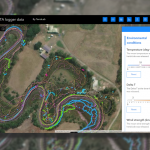
Project and herbicide reporting using the STA logger
Read More »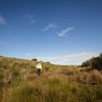
Why weed control contractors are flocking to use the STA logger
Read More »