
Understanding the STA Logger Subscription
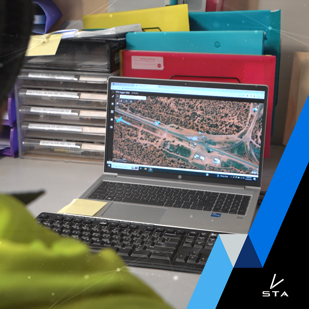
We take immense pride in our commitment to environmental stewardship and cutting-edge geospatial solutions. Our flagship offering, the STA logger, isn’t just a piece of hardware; it’s a transformative tool that revolutionizes weed management and planting equipment tracking. Today, we’re excited to delve into the essential aspects of our subscription, shedding light on what it truly covers and the value it brings to your operations.
The subscription is what makes that possible. It is the invisible machinery that turns raw GPS dots into maps, reports, compliance records, and management insight. Without it, the STA logger would simply be a tracker and a file you’d dump somewhere on your computer. With it, it becomes a system your organisation can rely on for decision-making, auditing, and long-term planning.
First and foremost, our subscription is more than just a fee, it is an investment in the operational backbone of your data. At the heart of this is ArcGIS Online, the world-leading geospatial cloud platform provided by our partners, Esri Inc. This is the same platform used by government agencies, forestry companies, conservation groups and utilities around the world.
ArcGIS Online is where all of your STA logger data lives, where it is processed, and where it is turned into interactive maps and dashboards that your team can actually use. For small organisations, it provides an enterprise-grade GIS without the need to build one. For larger organisations, it integrates seamlessly with existing spatial systems.
This is what your subscription really covers:
On demand data processing: Every time a logger is used in the field, it generates thousands of raw location records. Those files are meaningless on their own.
Your subscription covers the continuous, automated processing of this data: cleaning it, checking it for errors, converting it into usable tracks, spray maps and planting records, and publishing those products so they are ready for use. This runs 24/7 in the background, so your team can simply turn on a device, do the work, and see the results without touching any software.
It also includes system-level error checking, logging and reporting, so if something goes wrong, it is detected early rather than quietly corrupting your data.
ArcGIS Licensing: To run a cloud-based GIS system normally requires your organisation to purchase and manage its own ArcGIS Online account, users, security settings and licenses. That is expensive and complex and probably requires someone dedicated to its management.
If you do not already have an ArcGIS environment, we provide the licenses required to use the STA logger system through our a STA license. That means you get secure access to your data and web maps without needing to buy or maintain a full GIS platform yourself.
Hosting and Storage Costs: Your subscription covers the hosting and storage of all your STA logger data within ArcGIS Online, Esri’s secure cloud platform. This goes far beyond simply keeping a few files on a server. Every STA logger in the field produces a continuous stream of high-resolution, time-stamped location data while work is being done. A single day of spraying or planting can generate tens of thousands of GPS records, which are then turned into tracks, work areas, spray footprints, planting maps, and audit layers.
All of these layers are stored, indexed, and made instantly accessible so they can be mapped, queried, filtered, and reported on at any time. In addition to the live operational data, the system also stores historical records, long-term archives, and multiple backup copies to ensure nothing is lost and that your organisation can always reconstruct what happened in the field.
ArcGIS Online charges for this storage and access based on how much data is held and how it is used. As your fleet grows, as your season runs longer, and as you build up years of operational history, the volume of data grows quickly. The subscription covers this ongoing, expanding footprint, so you do not need to worry about running out of space, managing servers, or deciding what to delete.
In practical terms, this replaces what would otherwise require dedicated servers, databases, backup hardware, and IT support. Instead, your data is securely hosted, backed up, and always available, allowing your team to focus on using the information rather than managing the infrastructure behind it.
Security: Your data is protected using enterprise-grade security systems operated by Esri. This includes encrypted data storage, controlled access, secure authentication, and continuous monitoring.
For many organisations, this level of security would be impossible to achieve internally without a dedicated IT team. You can be rest assured the data is secured by the world leading GIS providers, not one of our team members in the backroom.
System Maintenance: Although the system is highly automated, it is not left unattended. TerraLab technicians monitor processing pipelines, check uploads, review system performance, and maintain the servers and web applications that power the STA logger ecosystem.
This ensures the system keeps running smoothly, even as usage grows and datasets become large.
Support: When something goes wrong, or when you want to do something new with your data, you are not on your own. Your subscription includes direct email access to the team that built and runs the system. That means problems are solved quickly by people who understand both the technology and how it is used in the field.
Backups: Multiple copies of your data are maintained at different stages of the processing workflow. If a file is corrupted, deleted, or a system fails, your data can be recovered. This is critical for compliance, auditing, and long-term environmental records. Check out our blog on backups for more information.
Archives: As data ages, it is moved into long-term archives that remain accessible. You can download historic records at any time for reporting, regulatory submissions, or internal reviews. Your organisation retains access to its full operational history. Check out our blog on archives for more information.
Development: Your subscription funds continuous improvement of the system. Firmware updates, new processing methods, improved maps, and better web tools are rolled out regularly. This means your STA logger system today is better than it was when you bought it and it will keep improving.
TerraLab’s Services: Beyond the infrastructure, the subscription includes the expertise that makes the system usable. TerraLab builds and maintains the web applications that turn your data into clear, easy-to-understand maps and reports. We listen to users, identify bottlenecks, and improve the system so it better supports real-world operations.
Not only does the subscription bring all of these benefits, but it also helps your team demonstrate compliance and can actually be a cost saver through efficiency.
As a forward-thinking environmental and geospatial consultancy, we recognize the significance of technology in driving positive change. The STA logger subscription, beyond its tangible elements, embodies our shared commitment to environmental sustainability, operational efficiency, and data-driven decision-making. By leveraging the power of ArcGIS Online, you’re not only optimizing your operations but also contributing to a greener, more sustainable future.
When you invest in the STA logger subscription, you’re investing in a comprehensive solution that covers ArcGIS licensing, hosting and storage, security, TerraLab’s exceptional services, and ongoing support. This holistic approach ensures that you have the tools, resources, and expertise needed to unlock the full potential of your STA logger data.
Recent Posts
STA onboarding
Read More »
Weed Mapping Without the Extra Field Work: The Business Case for STA Logger
Read More »
Introducing the STA Sponsored Tier: $0 Annual Subscription
Read More »
Uploading STA Data Using a Phone Hotspot
Read More »