Spray zone area estimates

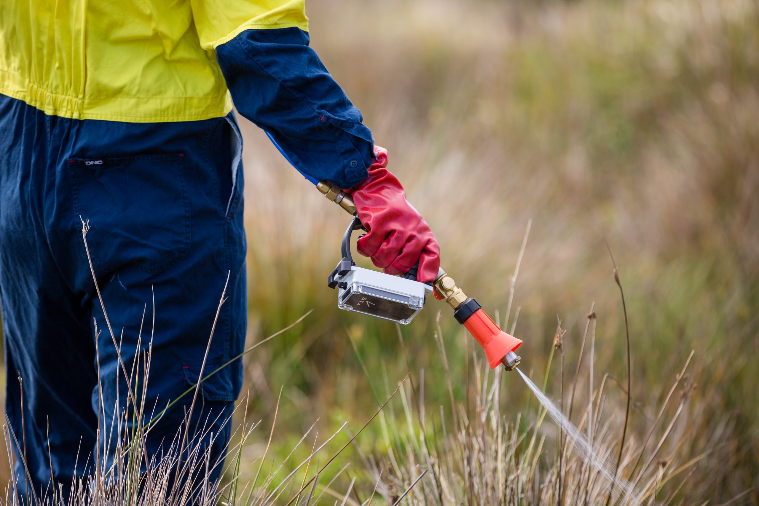
Your STA logger data includes three layers:
- A point layer, which is considered the ‘raw’ data collected by the device at one point per second,
- A tracklog (polyline) layer, which is the path the operator traversed while the unit was awake, and
- A spray zone (polygon) layer, which is an estimate of the footprint of herbicide on the ground from a spraying event.
The spray zone can be one of three colours, blue, green or pink, which correspond to the position of the selector switch on the unit: 0, 1 and 2, respectively.
The size of the spray zone is determined from an algorithm that evaluates what the unit was doing at the time. In general, it produces small circular spray zones for short spray events and larger, sometimes elongated spray zones after longer spray events.
But did you know the swath width (the diameter of the spray zones) can be customised? Here’s how.
Changing the swath width
When you purchase your STA logger, your devices will be classified as either backpack or high-volume devices. This effects the maximum spray zone size, as high-volume units estimate a larger spray zone than backpack sprayers. But you can change that in the settings.
- Connect your device to power using the config cable (read this blog for info on accessing the settings).
- Enter the device settings through a browser.
- Go into the ‘Setup’ menu.
- Change Spray Type as required.

You can also add alias’ to the selector switch options which show up in your data. For example, you may want to classify your weeds by name. Anything you type into the ‘New Option’ box, will be added as an option for the Selector drop down boxes.
Customising the swath width
It is also possible to have your own unique, custom swath width. To do this, select ‘Other’ as the Spray Type, and contact support. We will enter a unique swath width for your spray zone to suit your specific needs.
This may be for boom or broadcast applications, or something we haven’t even thought of yet!
Recent Posts

STA logger onboarding
Read More »
So, why the STA logger?
Read More »
Weed mapping data and government databases
Read More »
Measure herbicide output with the STA logger
Read More »
