
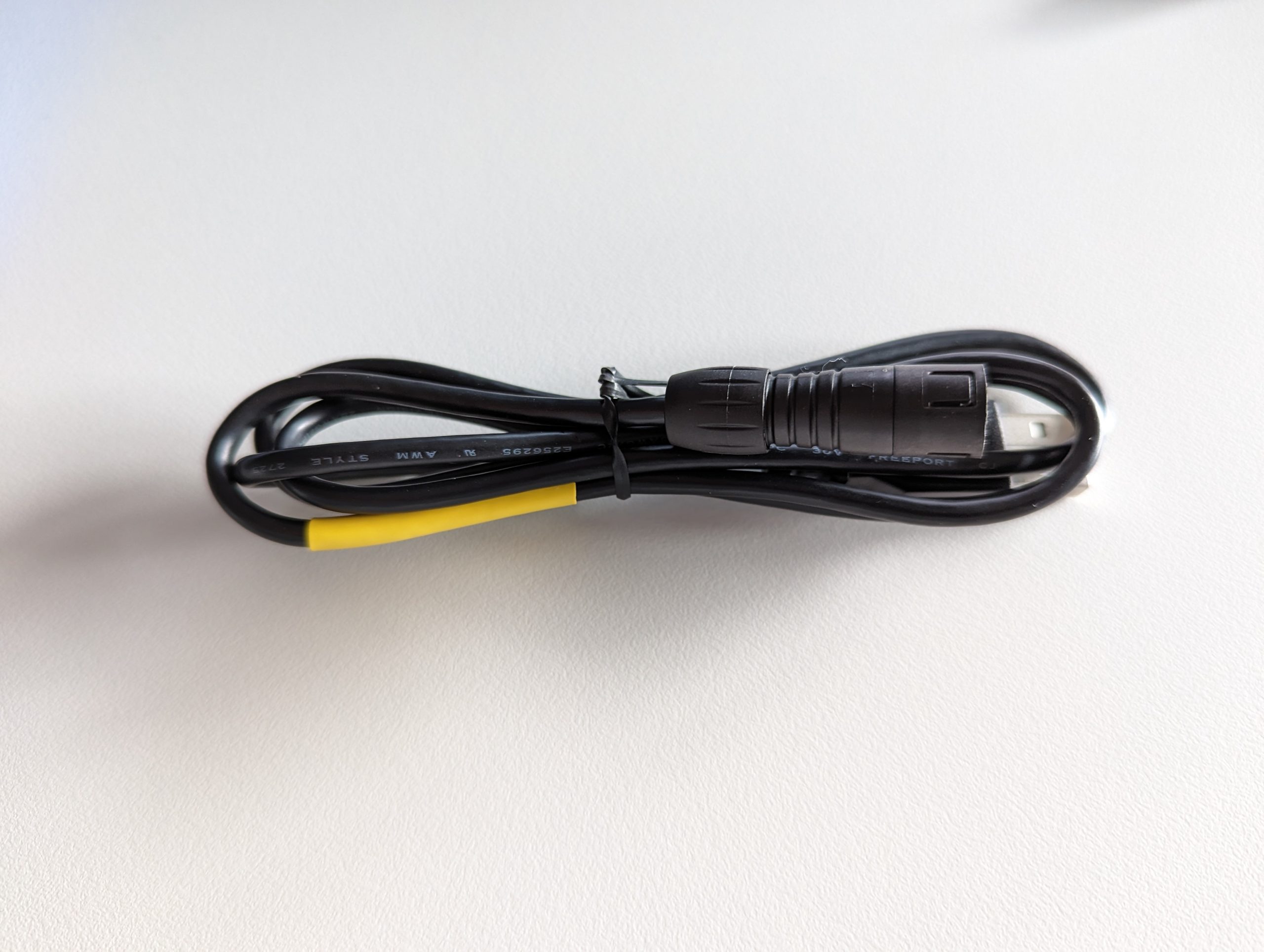
Setting up the WiFi
So you got your STA loggers … What now? There’s an instruction booklet in the box, but there’s a lot…
View Post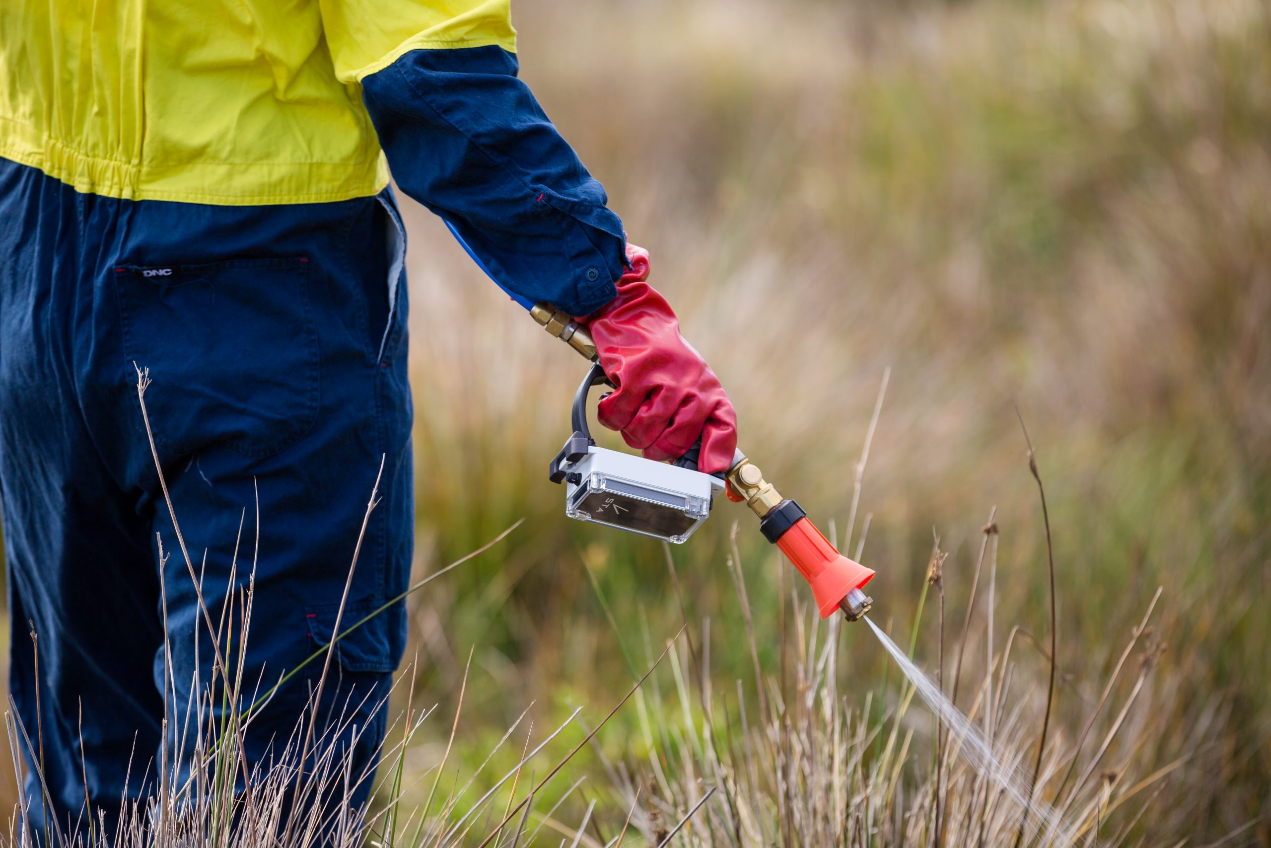
Spray zone area estimates
Your STA logger data includes three layers: A point layer, which is considered the ‘raw’ data collected by the device…
View Post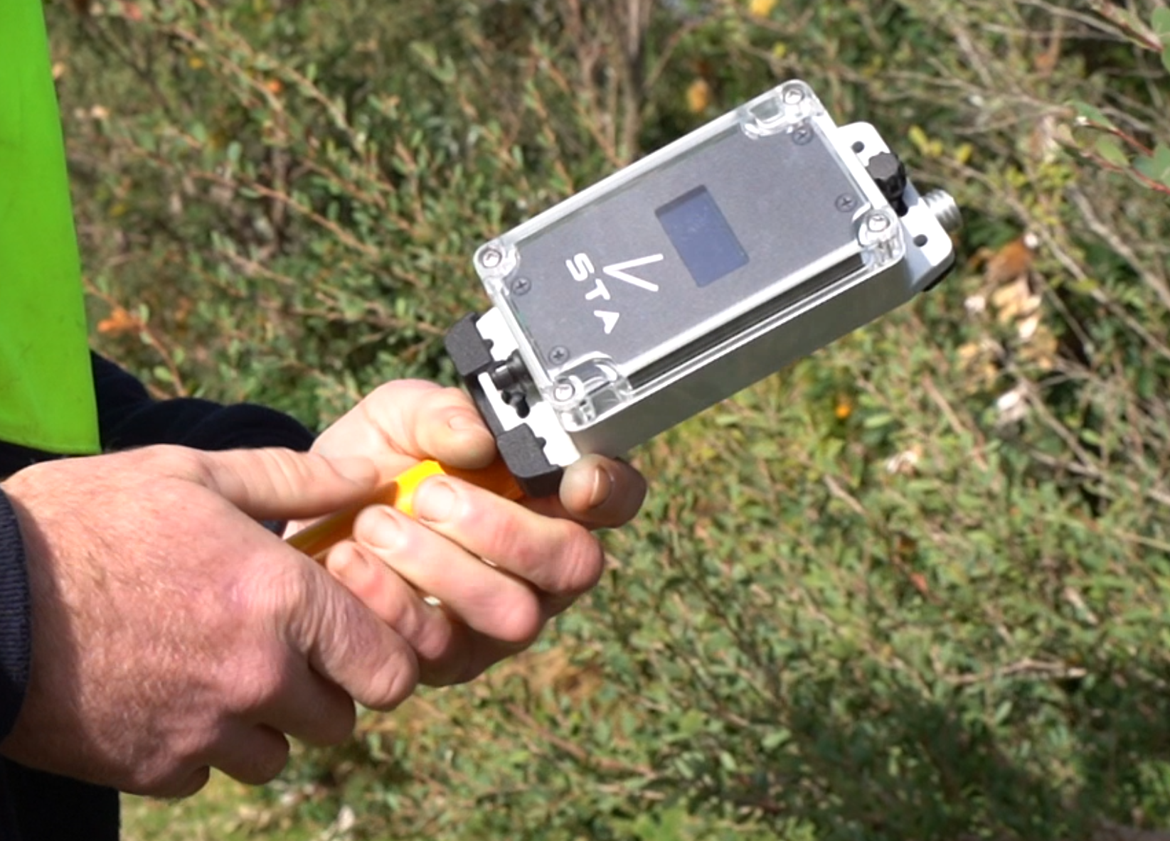
Understanding the mapping layer
One of the most powerful, but sometimes overlooked, attributes in the STA workflow is the Mapping layer. While the standard…
View Post
Enhancing Natural Area Management: A Case Study in Council Conservation Efforts
In today’s rapidly evolving world, effective management of natural areas and the conservation of biodiversity are critical for the sustainable…
View Post
Archived data
The longer you are a STA logger customer, the more data your account will accumulate. This can significantly impact on…
View Post
The 3-time award winning STA logger
A message from TerraLab Director, Harley Schinagl on the award recognition we recieved in 2022. “I am thrilled to announce…
View Post
Terms of use and safety information
Latest update: 03/06/2025 Summary of terms of use: Below are the detailed terms of use for the STA logger. Also…
View Post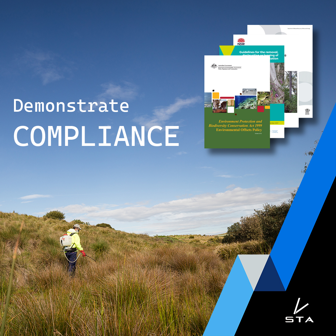
Demonstrating compliance – Prove your weed control was actually performed as required
Weed mapping devices like the STA logger have become an increasingly popular tool for managing and controlling invasive weeds in…
View Post
Why is it called the STA logger?
The STA logger is a unique, completely automatic weed mapping system that maps the location of weed management work while…
View Post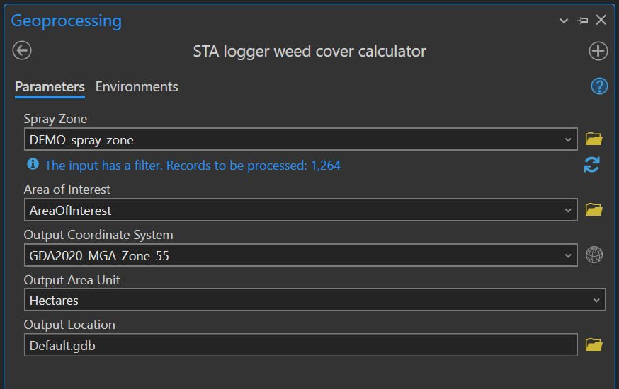
STA geoprocessing tools
STA geoprocessing tools (“STA TOOLS”) are a collection of toolbox based geoprocessing tools designed to be used in ArcGIS Pro.…
View Post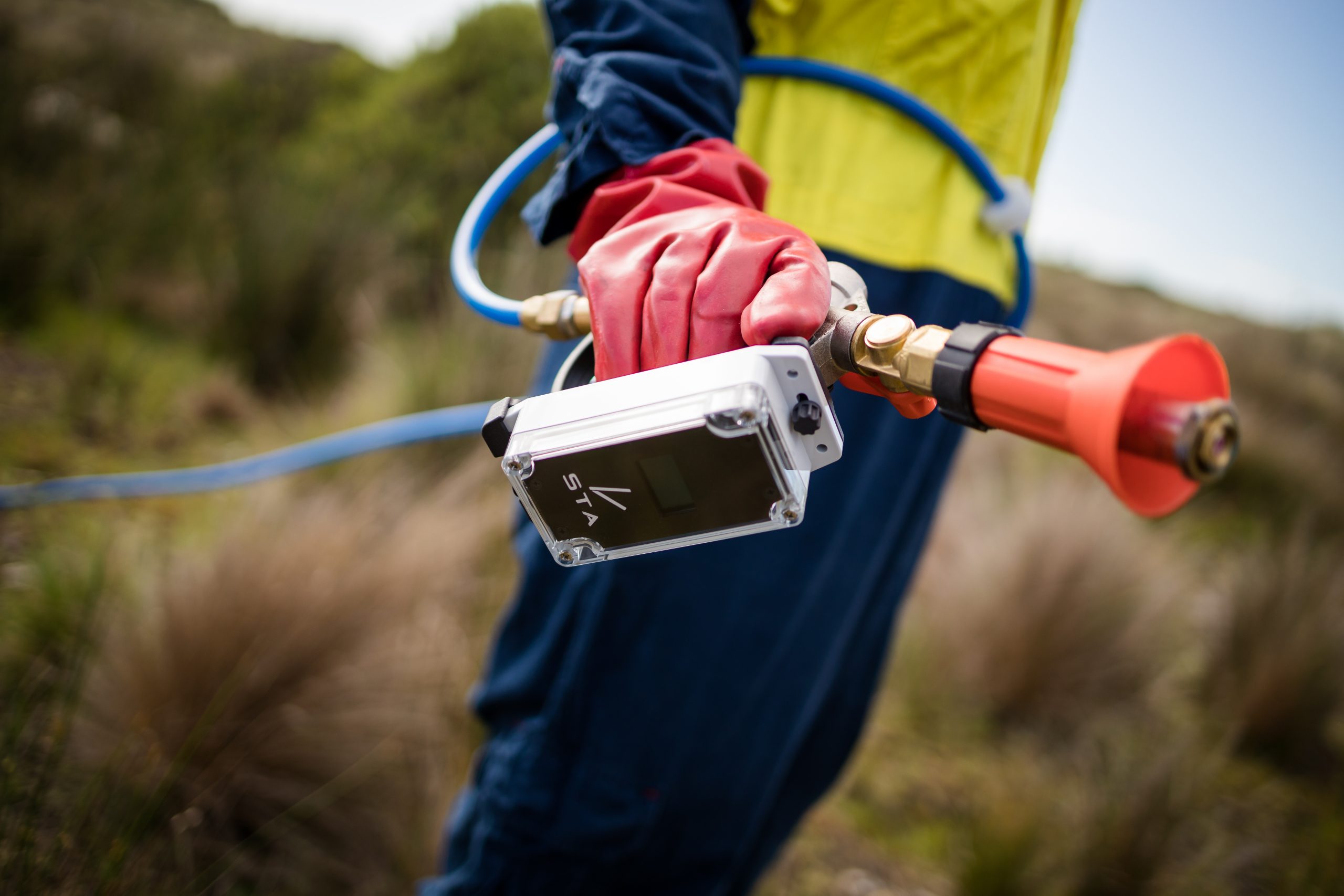
Processing weed mapping data – What does the STA logger do?
Hopefully you’ve read our primary article, “So, why the STA logger?”. In it, we discuss the practical limitations of performing…
View Post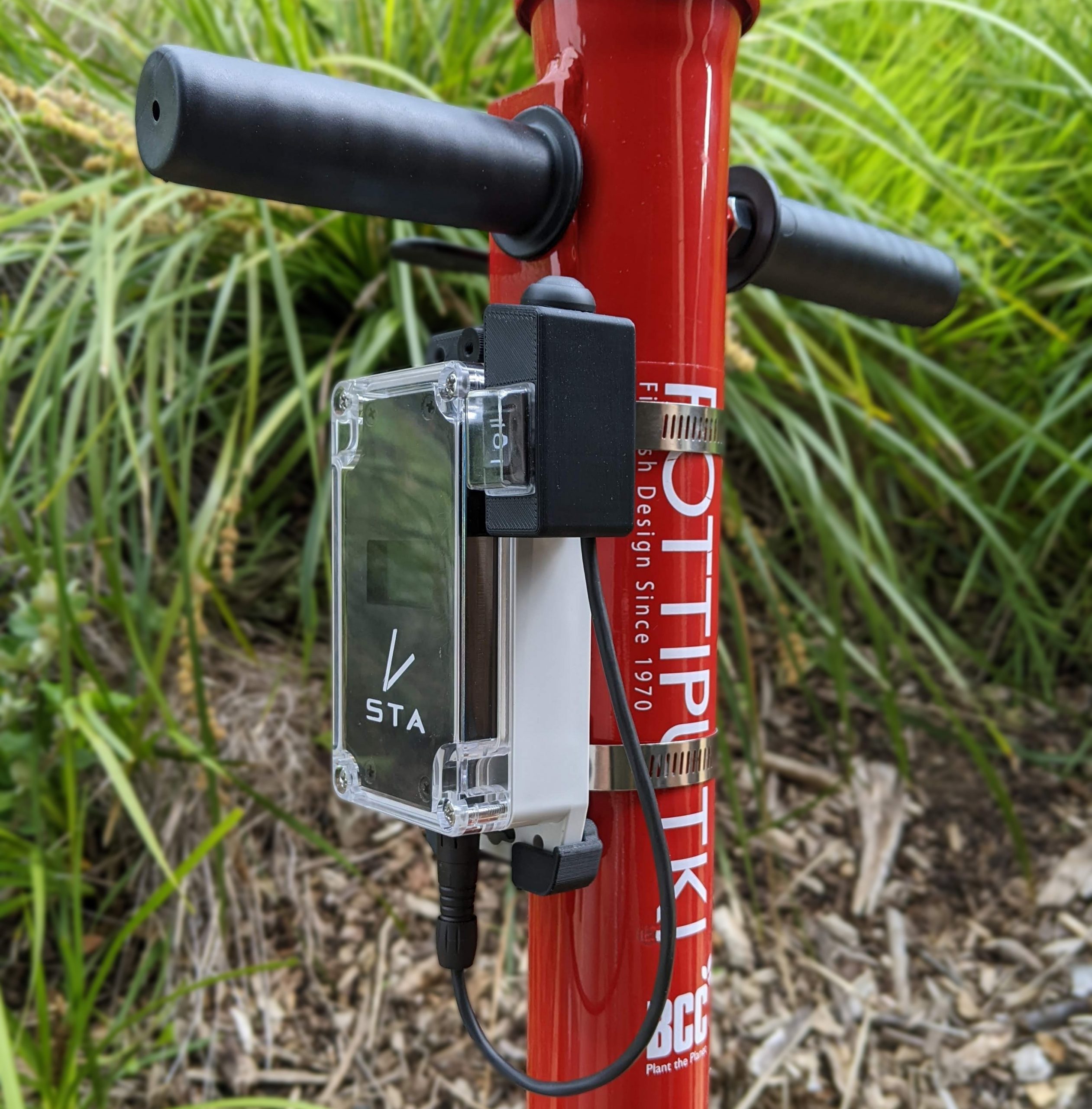
Mapping trees as you plant
Many STA logger customers are involved in the treatment of invasive weeds in natural landscapes. But for quite a few…
View Post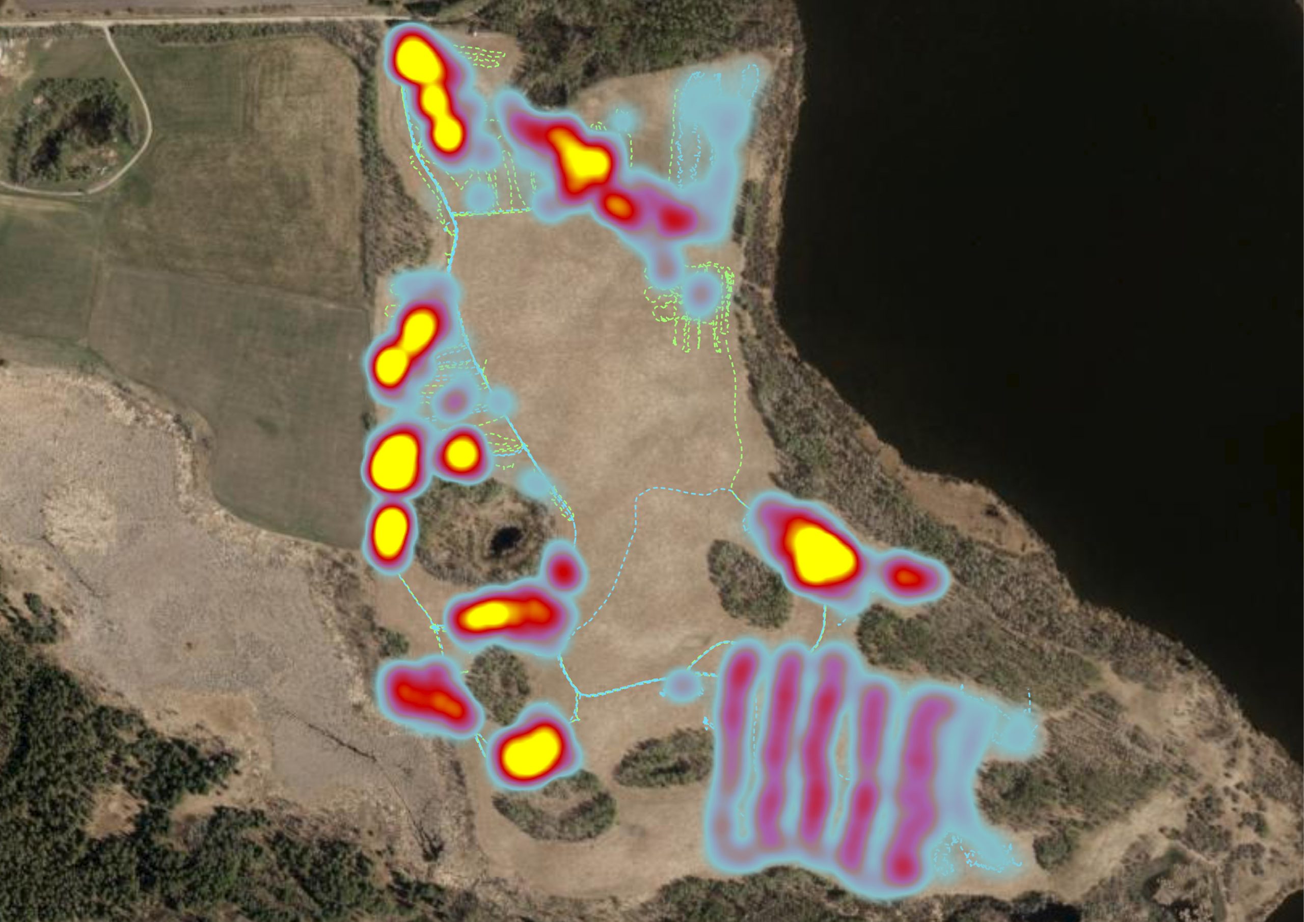
Into the Weeds
We’ve recently contributed to the November 2022 feature article for Esri’s ArcWatch publication, titled “Into the Weeds” which discusses the…
View Post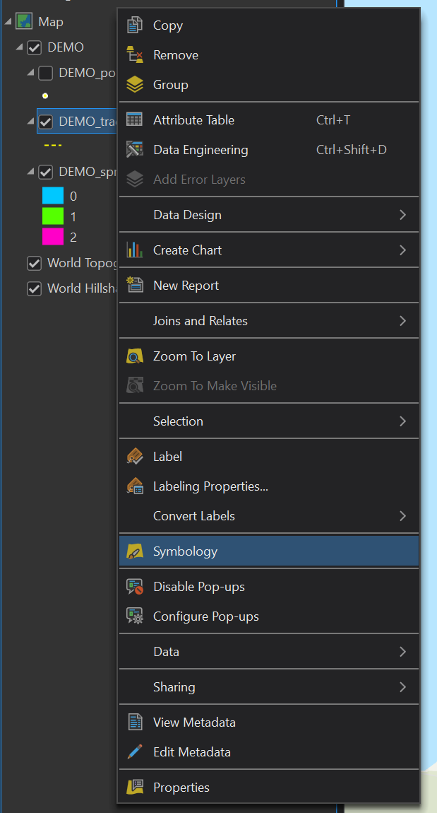
Managing STA logger data in ArcGIS Pro
We’ve made improvements to further enhance your experience when working with your weed mapping GPS data. This will change how…
View Post
STA logger GPS rentals
The STA logger is an automated data logging that retrofits to weed control equipment and allows you to GPS map…
View Post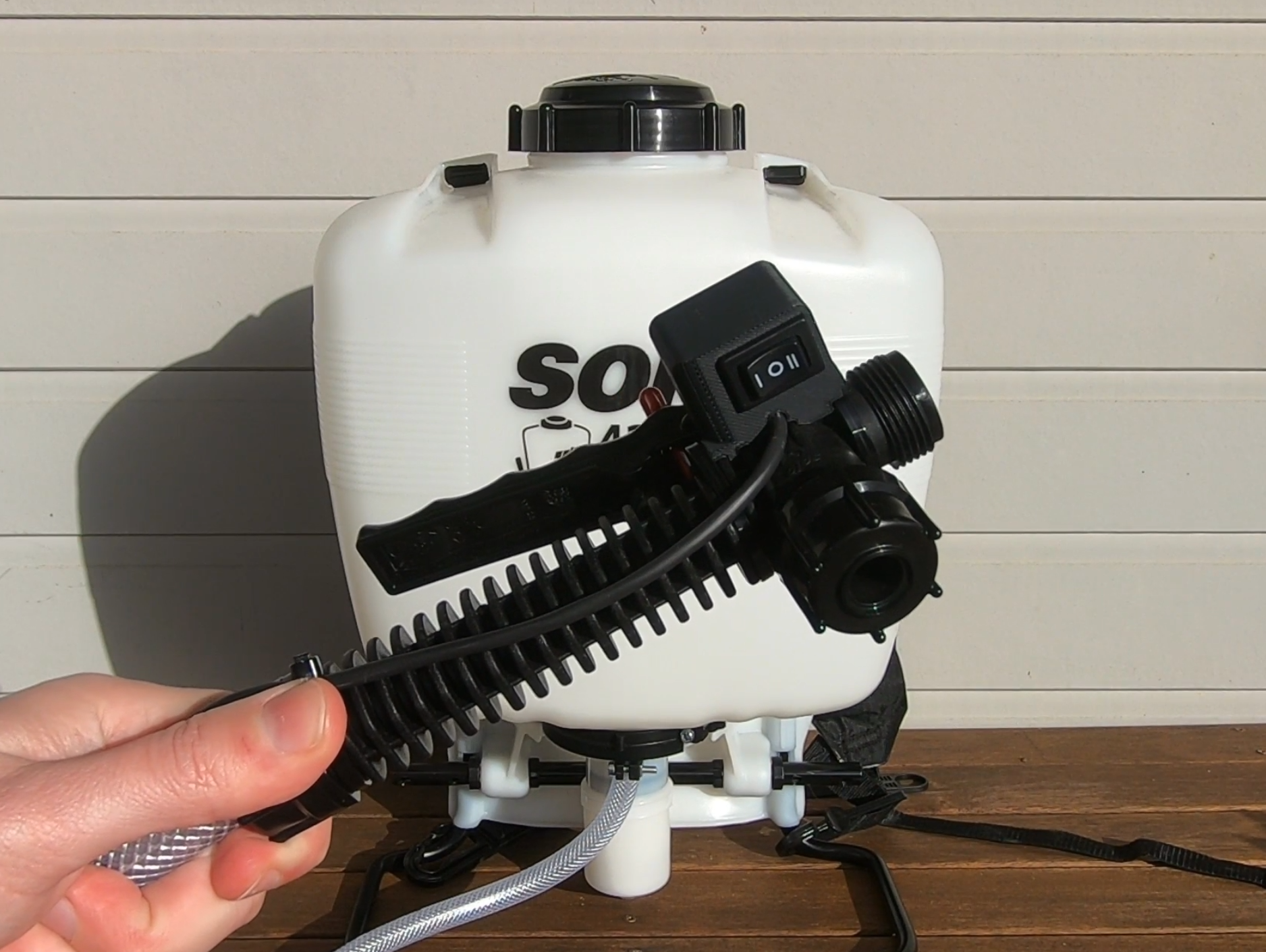
Setup of the STA logger parts
The STA logger is essential weed mapping equipment and will help improve your data quality and efficiency. The booklet that…
View Post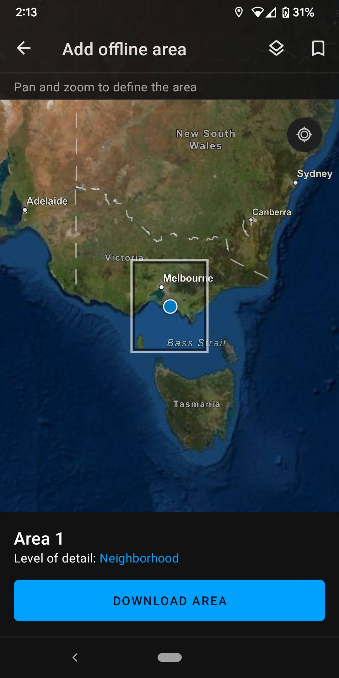
Taking STA logger data offline
Due to the nature of field operations, internet connection can sometimes be minimal or even nonfunctional making weed management and…
View Post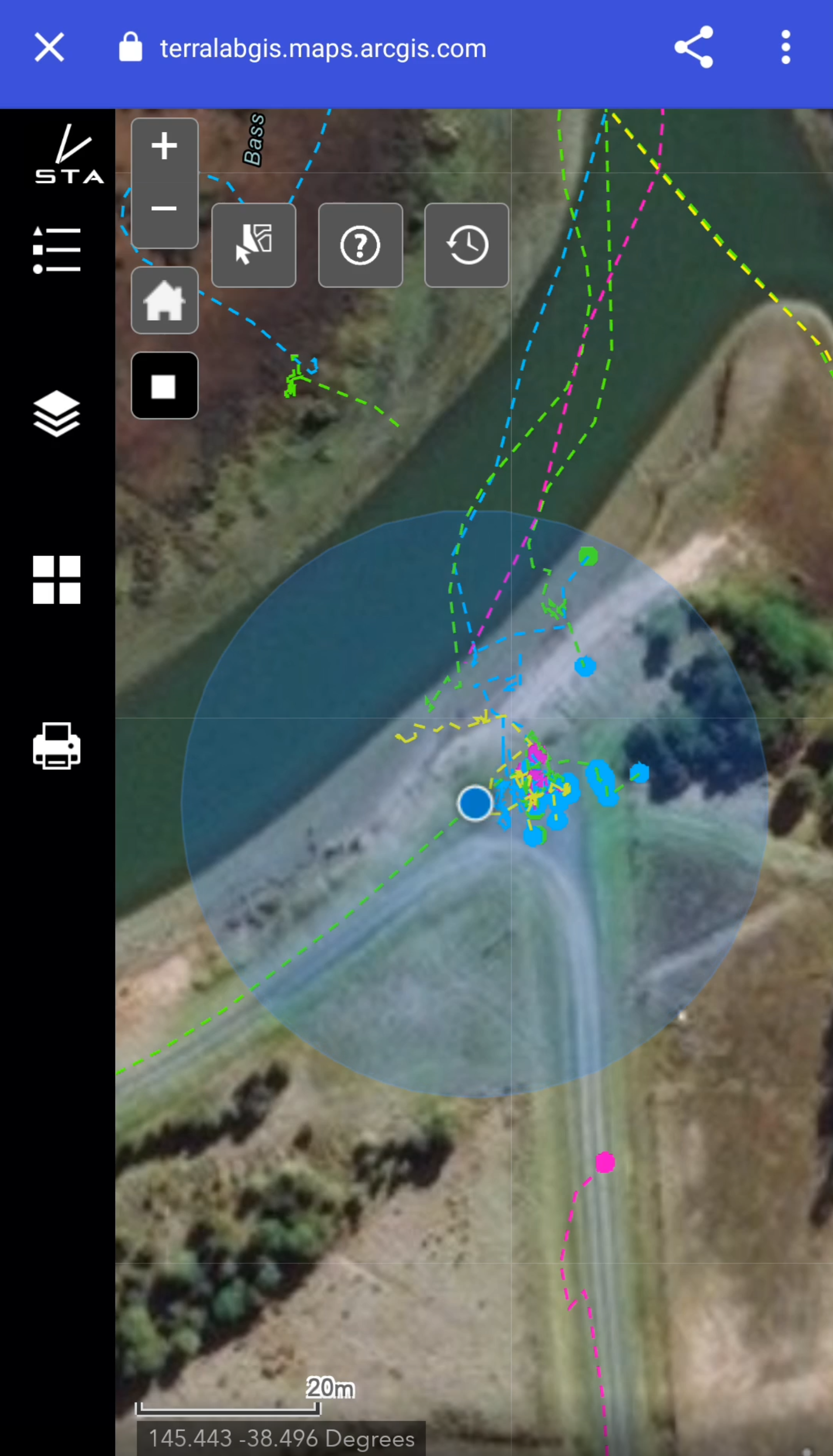
Weed mapping data on your mobile device
Do you need the data from your weed mapping on your mobile device? STA logger customers enjoy a web-based application…
View Post
Support for Indigenous land management in Australia
In the spirit of reconciliation TerraLab and the STA logger team acknowledges the Traditional Custodians of country throughout Australia and their…
View Post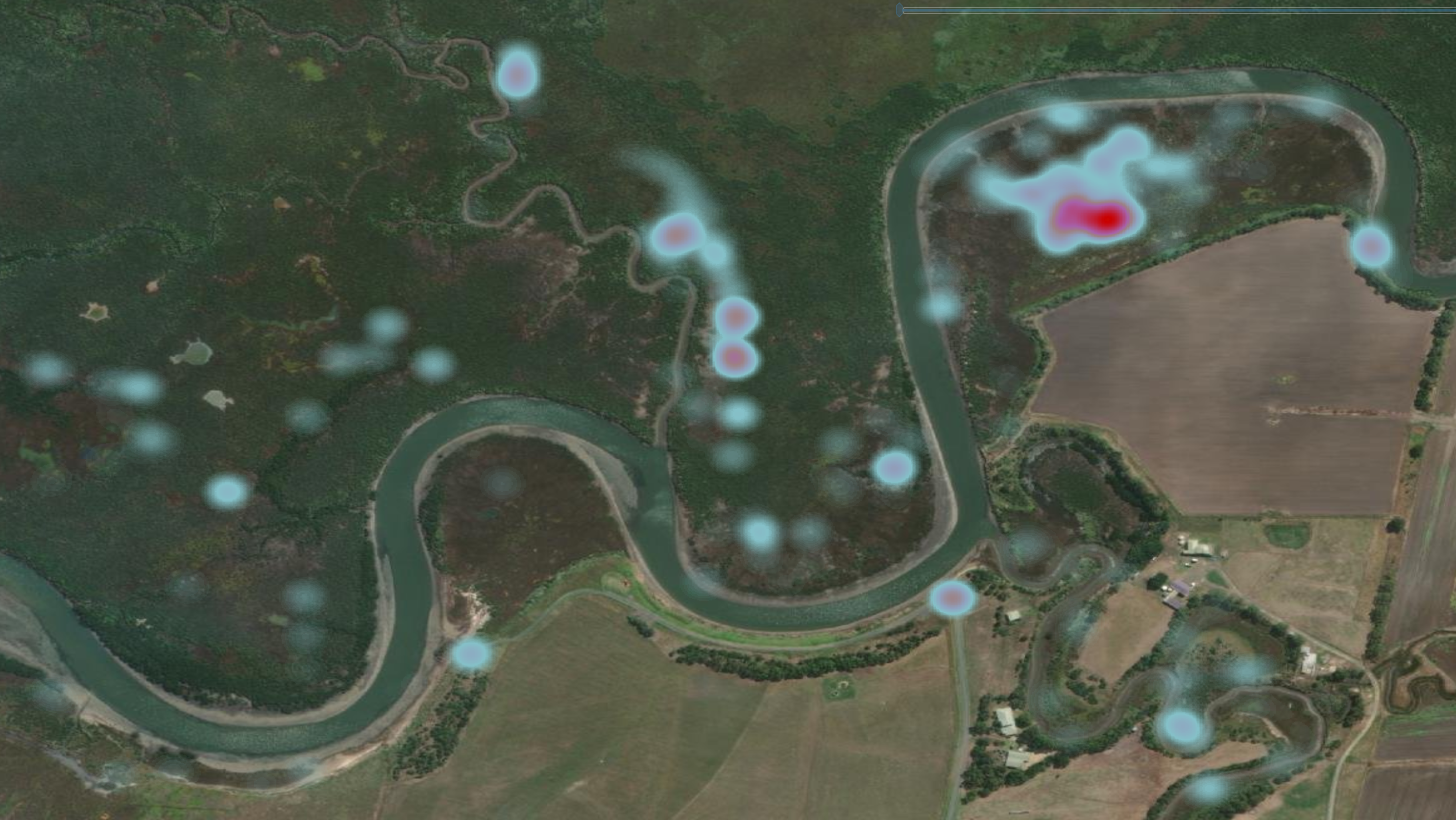
Heat mapping
Display your data as a weed density map. The default view of the STA logger layers (and in the web…
View Post